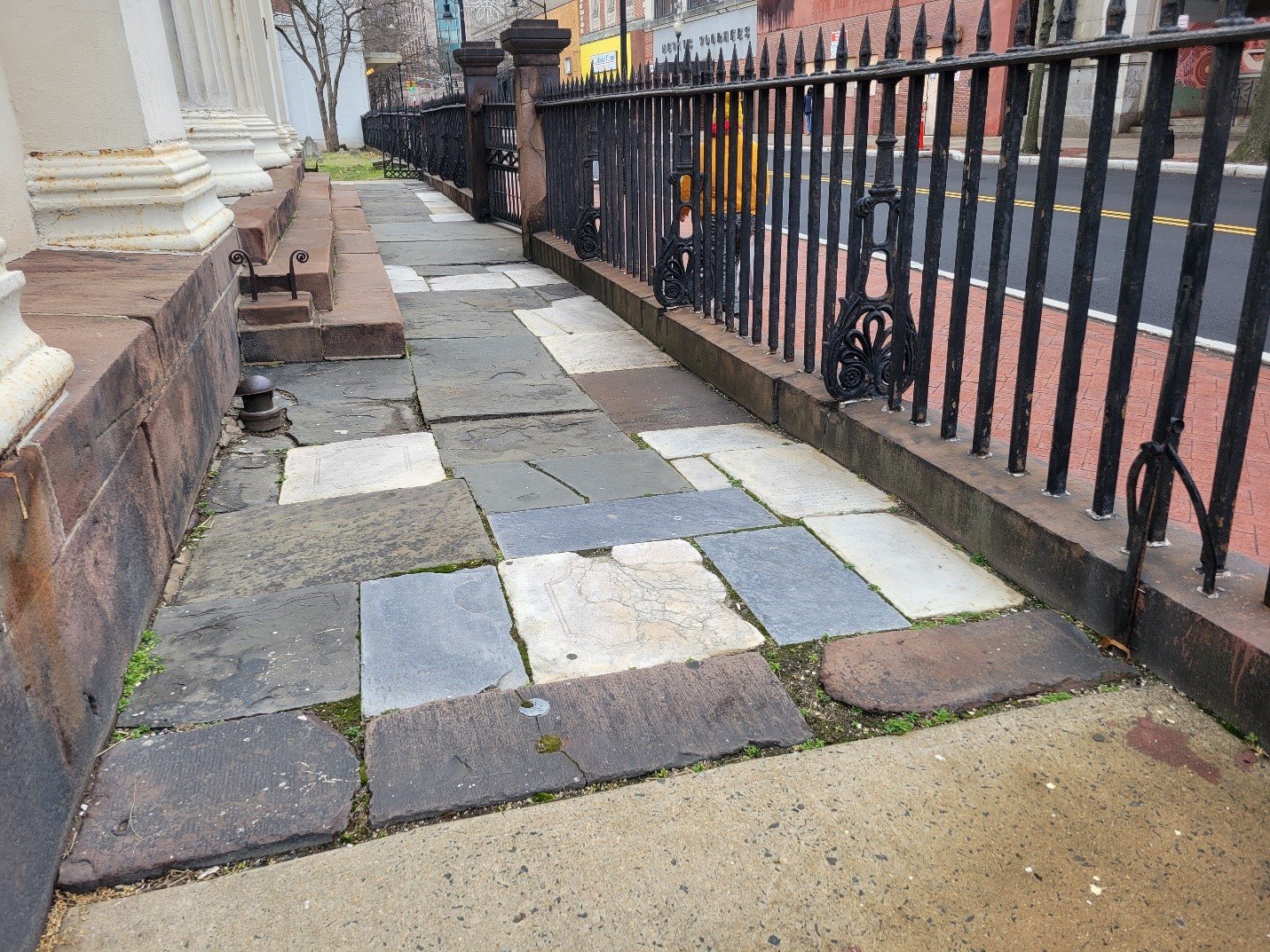
Over the past couple of years Hunter Research has been privileged to undertake archaeological work at two locations associated with esteemed humanitarian, nurse and educator Clara Barton, founder of the American Red Cross.
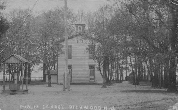
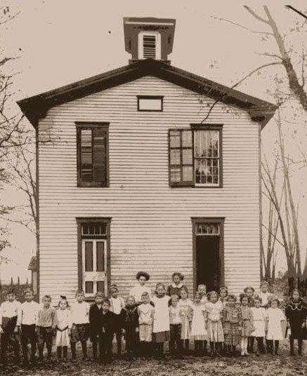
First, close to our Trenton home, working for the Bordentown Historical Society, we have investigated the Clara Barton Schoolhouse. This is where Barton, early in her storied career, opened and successfully operated the first free public school in New Jersey in 1852-53. Shortly thereafter, with enrolments rising and a new school building planned, the school board rudely replaced Barton with a male principal on the grounds that the position as head of such a large institution was unbefitting for a woman. The first schoolhouse still stands today, a charming one-and-a-half-story brick building, which for much of its existence has served as a residence. Our excavations exposed the remains of a rear kitchen addition and recovered artifacts from the period when the schoolhouse was home to two notable African-American families. Abraham Crippen, a prominent pastor in the African Methodist Episcopal (AME) church, lived there with his family from 1866 until 1872, followed by the family of Civil War veteran Henry Cole who were resident until around 1900.
More recently, in Glen Echo, Maryland, on the outskirts of Washington, DC, we have been part of a consultant team headed by Mills + Schnoering Architects, retained by the National Park Service to develop plans to rehabilitate the Clara Barton National Historic Site. This blufftop property, adjoining the delightful Glen Echo Park, was Barton’s home in her later life, the 38-room residence functioning as the nerve center for her many philanthropic and charitable endeavors. Our archaeological studies have focused on the remains of buildings and other buried features on the grounds associated with Barton’s occupation of the premises from the early 1890s until her death in 1912. The property is also yielding an abundance of Native American artifacts consistent with its ideal setting for camping on the bluffs overlooking the Potomac River.

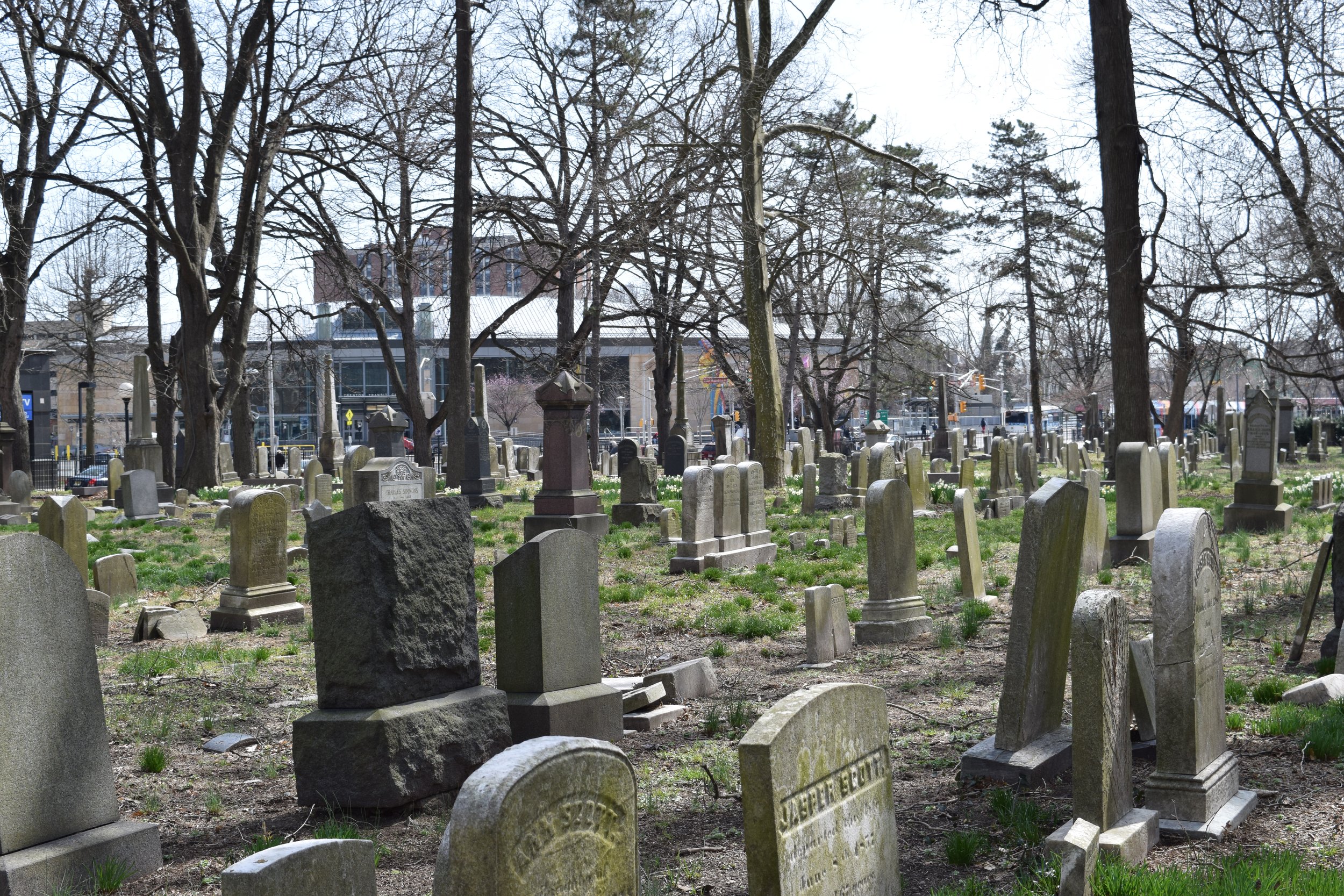
![22023 Photograph 1.1 [22023-D1-002].jpg](https://images.squarespace-cdn.com/content/v1/54eb7fcce4b0a4e937b40d71/1718133832734-STVB4KTOQC1K9KWYU1UN/22023+Photograph+1.1+%5B22023-D1-002%5D.jpg)
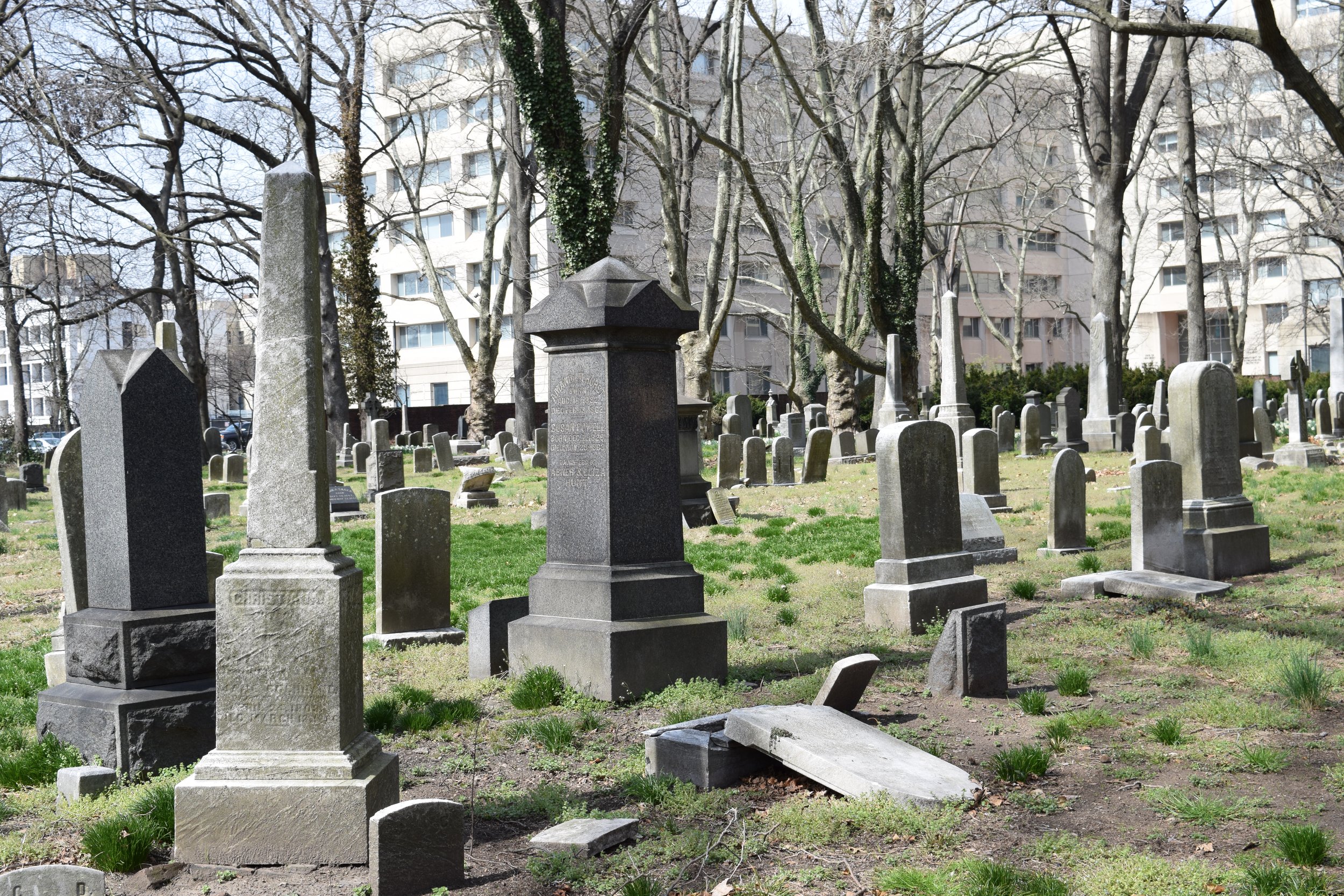
![22023 Photograph 3.7 [22023-D1-047].jpg](https://images.squarespace-cdn.com/content/v1/54eb7fcce4b0a4e937b40d71/1718133834657-YQD41YA6S5LKWQREBE1O/22023+Photograph+3.7+%5B22023-D1-047%5D.jpg)
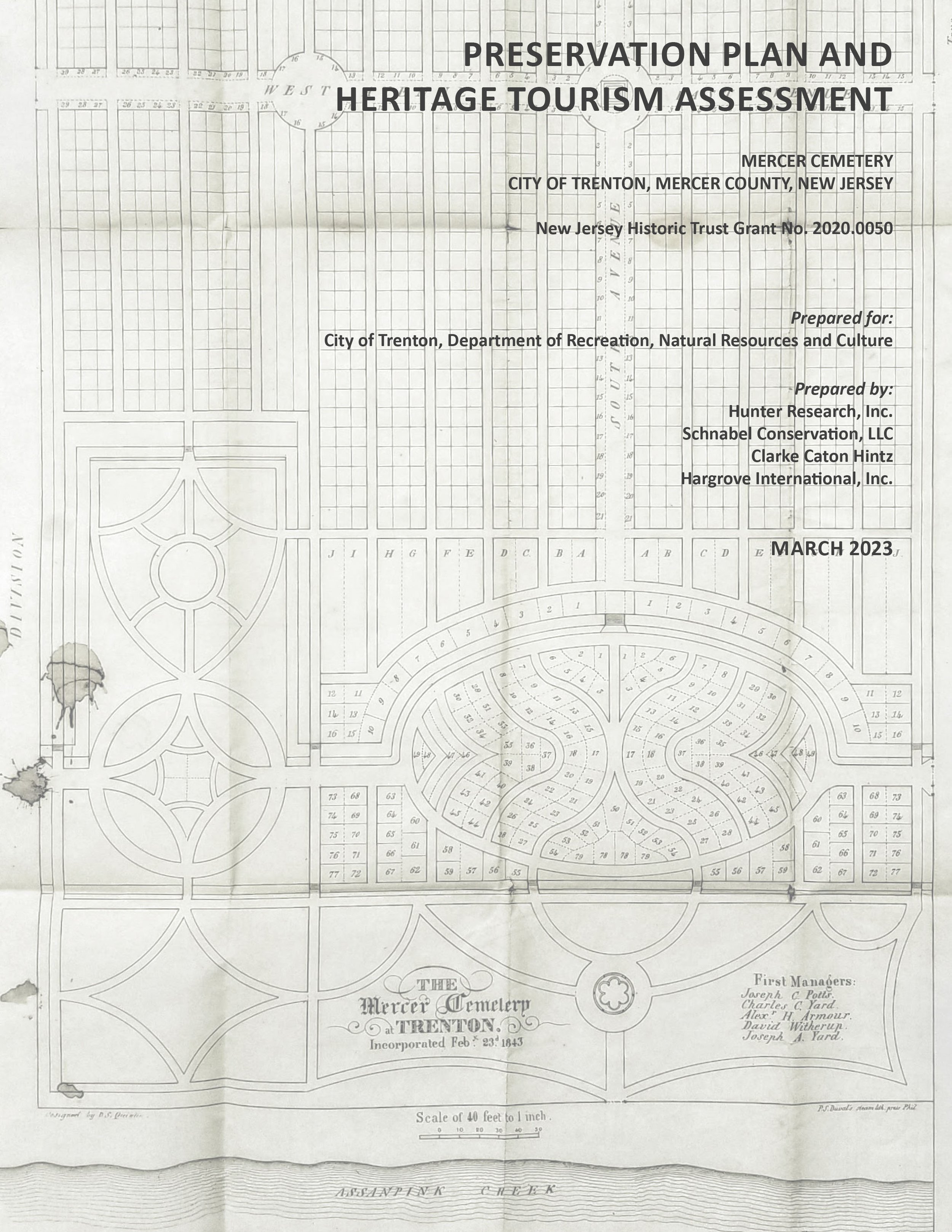
![22023 Photograph 3.8 [22023-D2-001].jpg](https://images.squarespace-cdn.com/content/v1/54eb7fcce4b0a4e937b40d71/1718133835189-A08XHAK0VOLQ68DWXZXA/22023+Photograph+3.8+%5B22023-D2-001%5D.jpg)