Signing History on the LHT

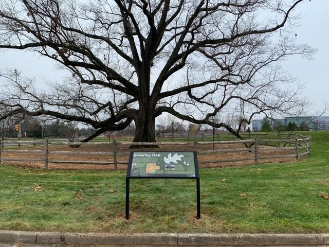
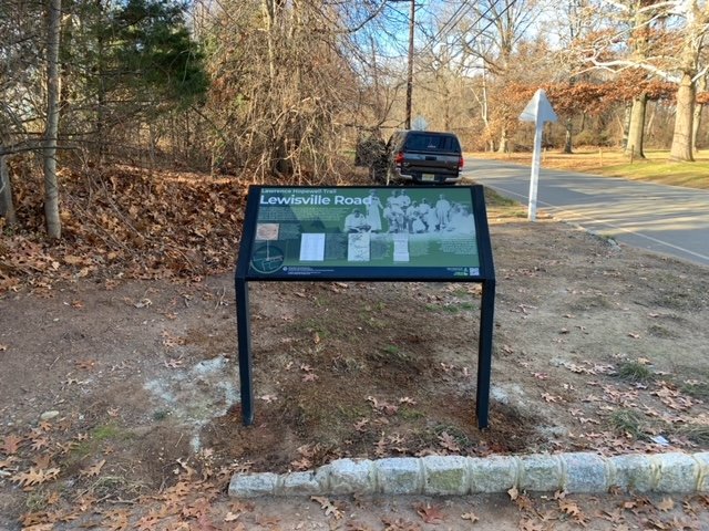
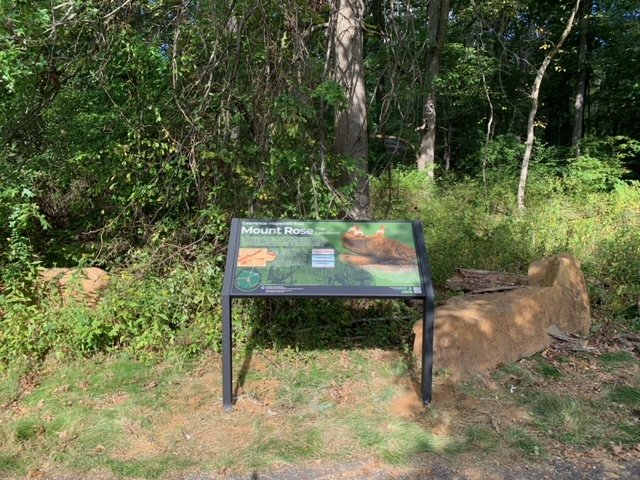
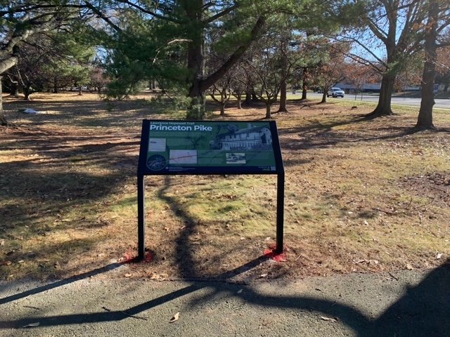
The Lawrence Hopewell Trail is a one-of-a-kind, 20-mile hike-and-bike route that wends its sinuous way through some of the choicest rural and suburban acreage in central New Jersey’s Lawrence and Hopewell Townships (lhtrail.org). Created painstakingly, segment by segment, over more than 20 years by the local community, the LHT is beginning to tap its rich wayside history through an expanding series of interpretive signs that connects trail users to features in the cultural landscape that they might otherwise unknowingly pass on by.

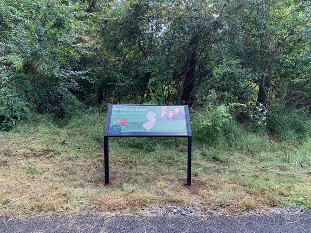
Hunter Research, with graphic designer Douglas Scott, is currently developing a network of historic interpretive signs that highlight more than 30 points of historical interest along the trail. Covering topics as diverse as the late 17th-century Province Line, the cherished Brearley Oak and the mid-20th-century campuses of corporate giants Bristol Myers-Squibb and Educational Testing Services, these signs engage and inform. Each sign uses appealing historic images coupled with a brief narrative to bring local history back into the land of the living. Seven signs have been recently installed; another half-dozen are in the oven. Hop on that bike or lace up those trainers and go take a look.

William Trent House Redux

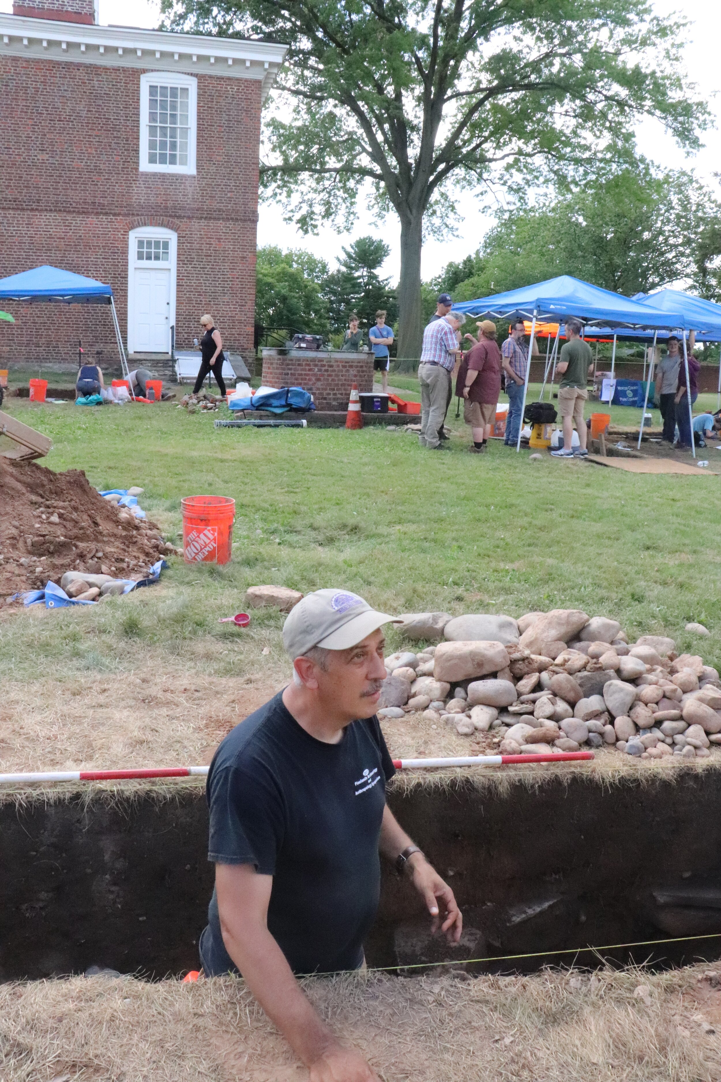
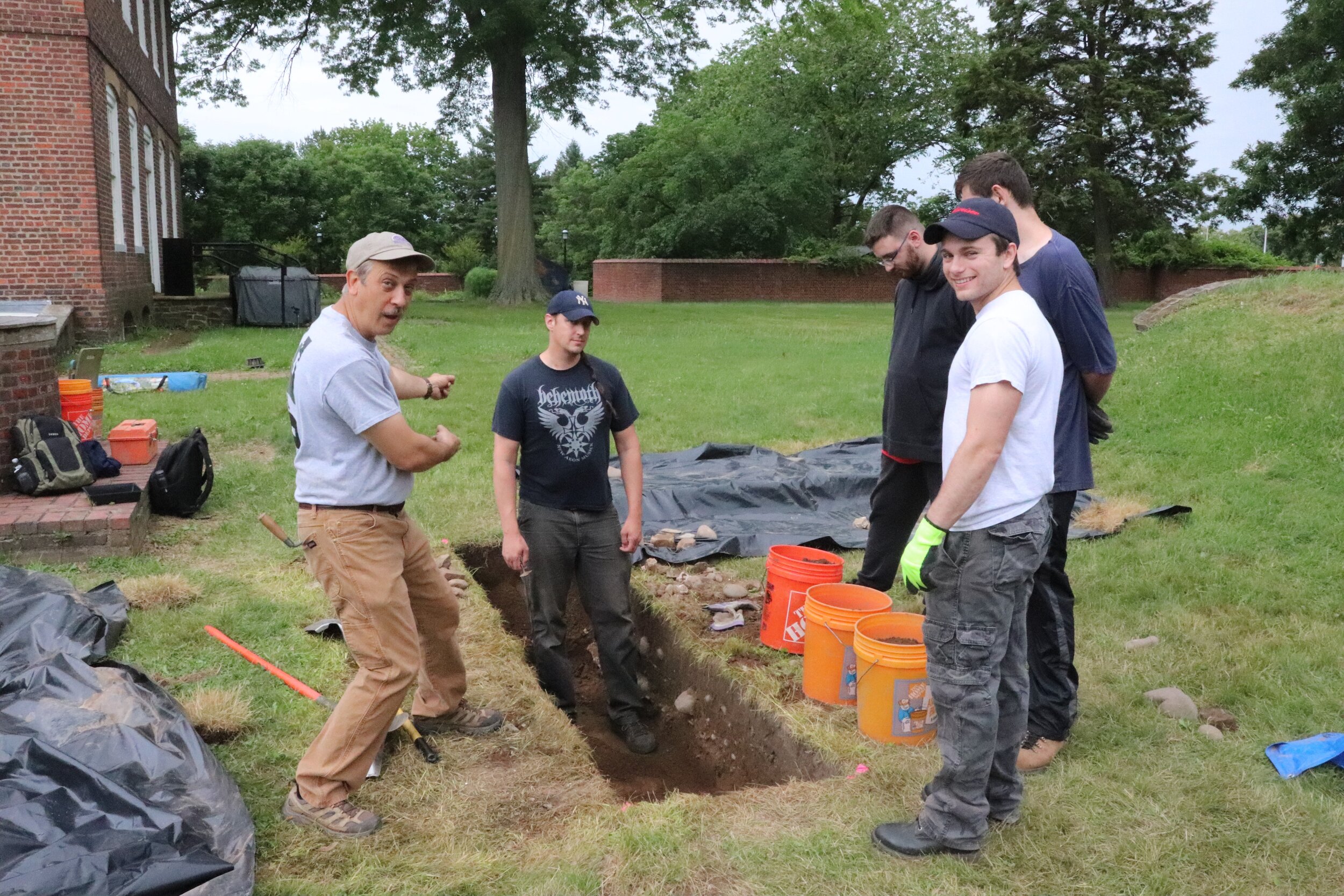
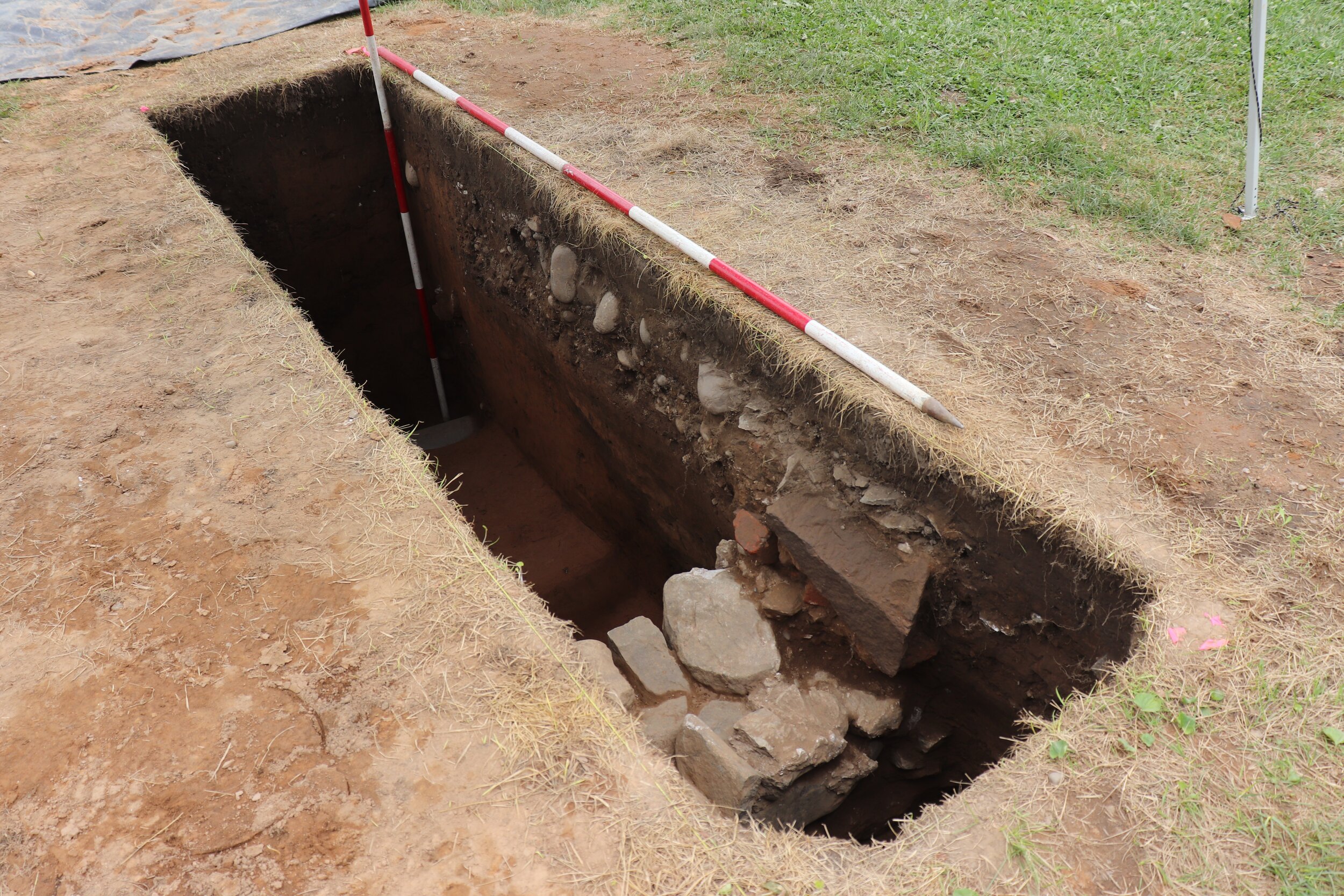
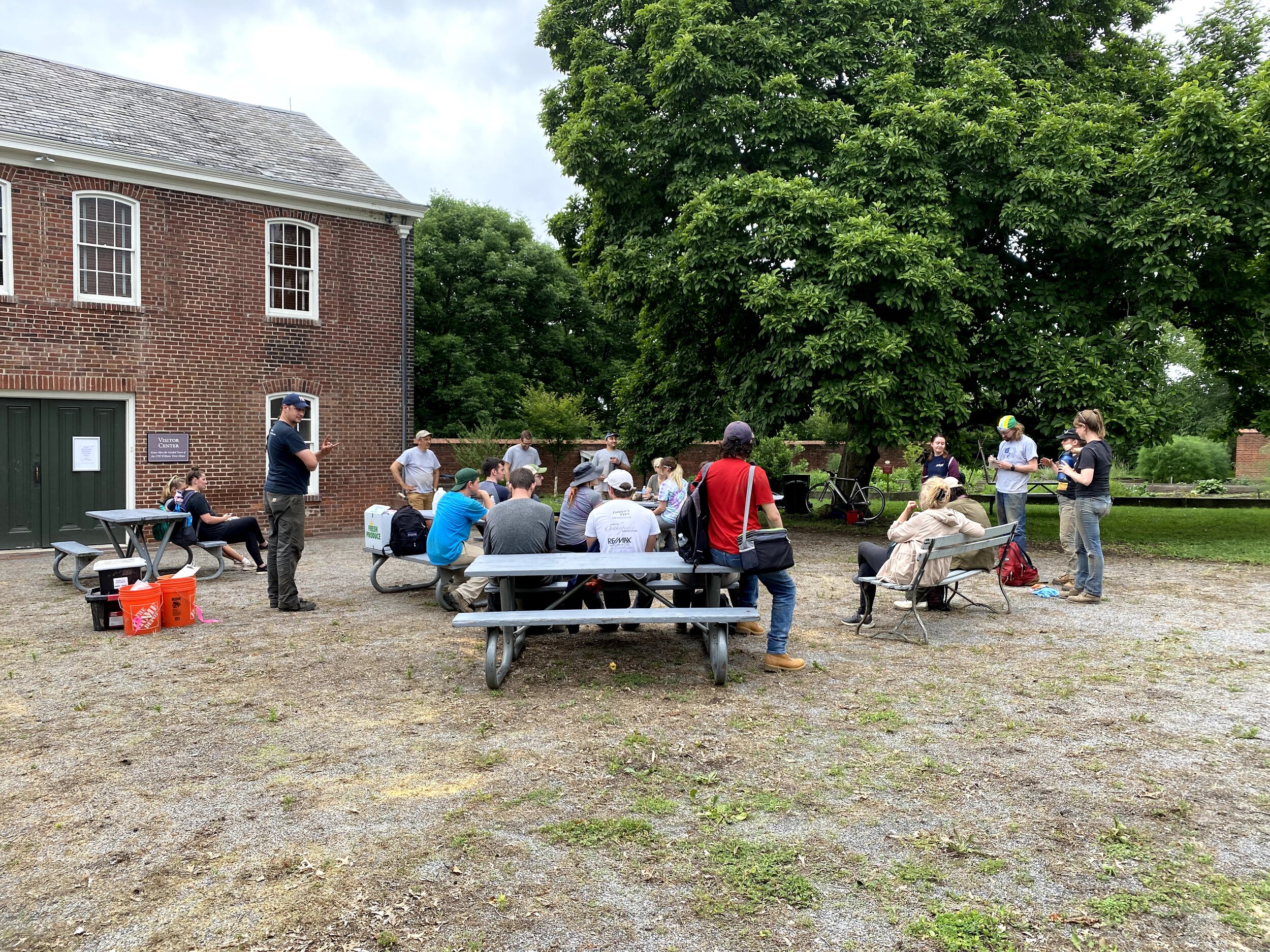
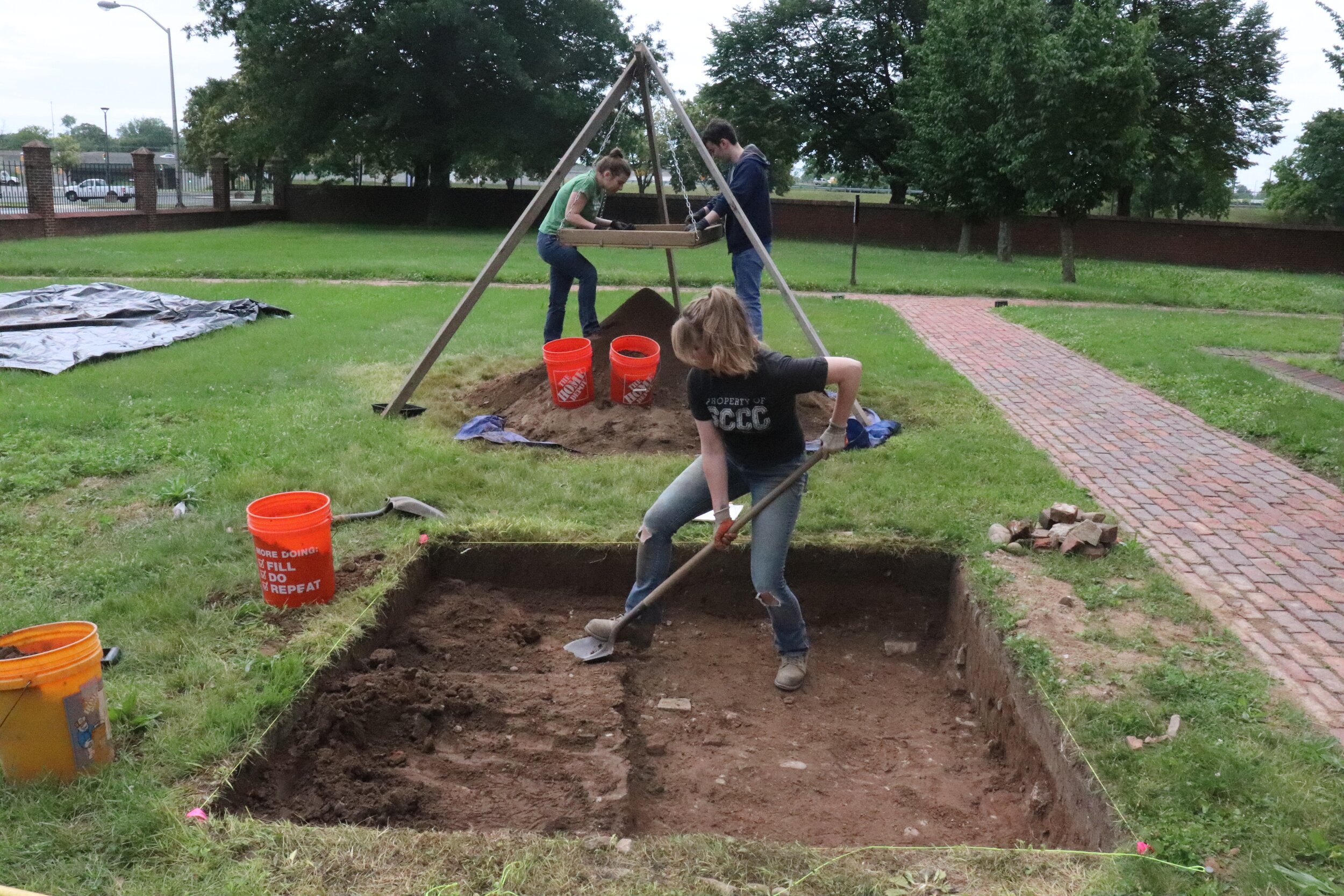
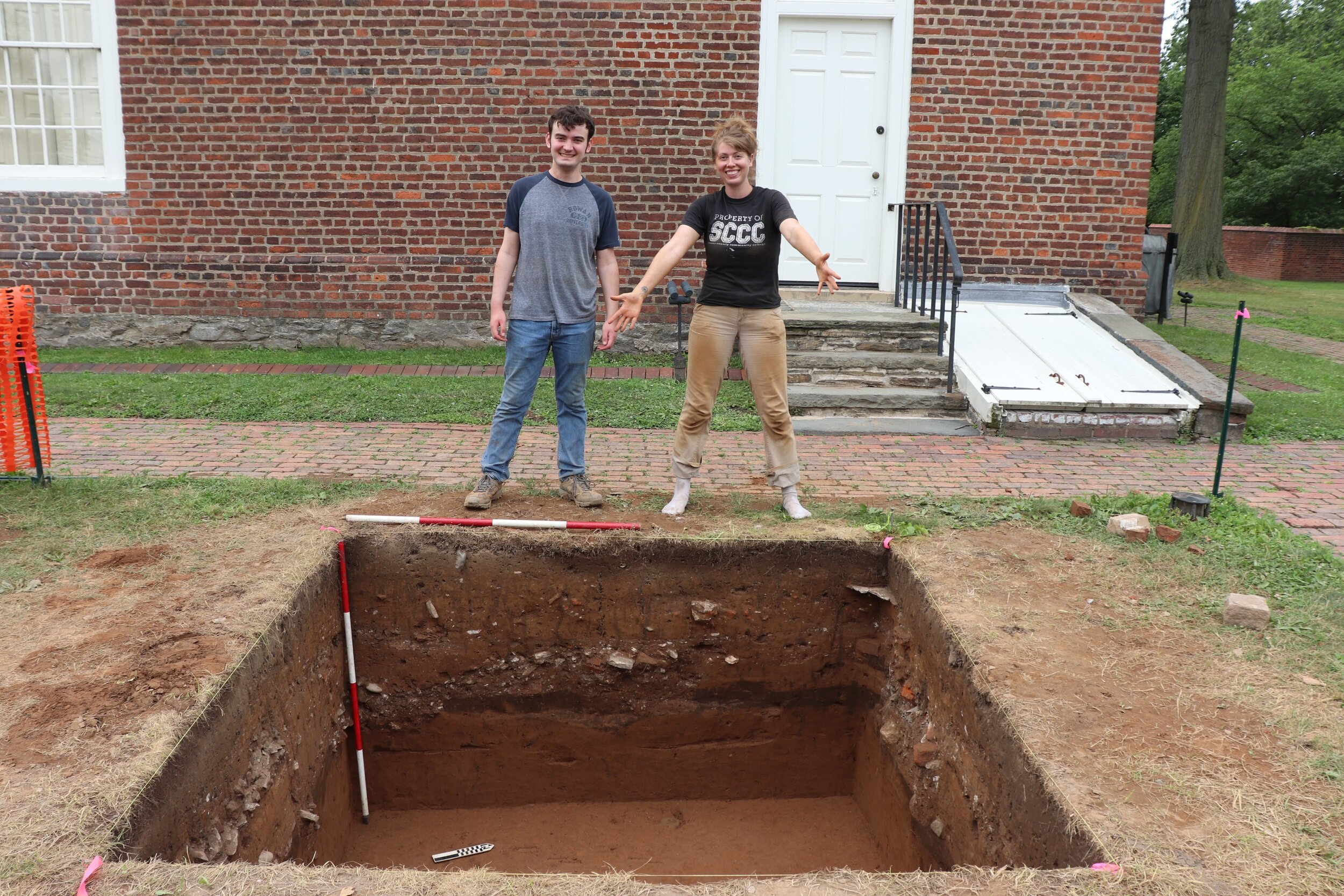
This past summer, Hunter Research teamed again with the Monmouth University Department of History and Anthropology reprising the successful archaeological field school of 2019 at the William Trent House in the heart of New Jersey’s historic capital city of Trenton. Funded by the William Trent House Association through grants from the New Jersey Historic Trust and NJM Insurance, a mix of students, academicians, cultural resource professionals and volunteers labored three days a week for six weeks under the direction of Monmouth University Professors Richard Veit and Adam Heinrich and Hunter Research Principal Archaeologist Jim Lee.

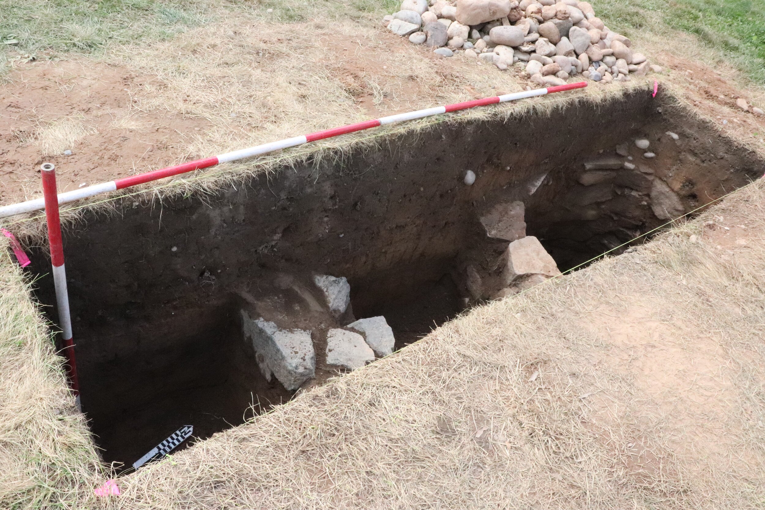
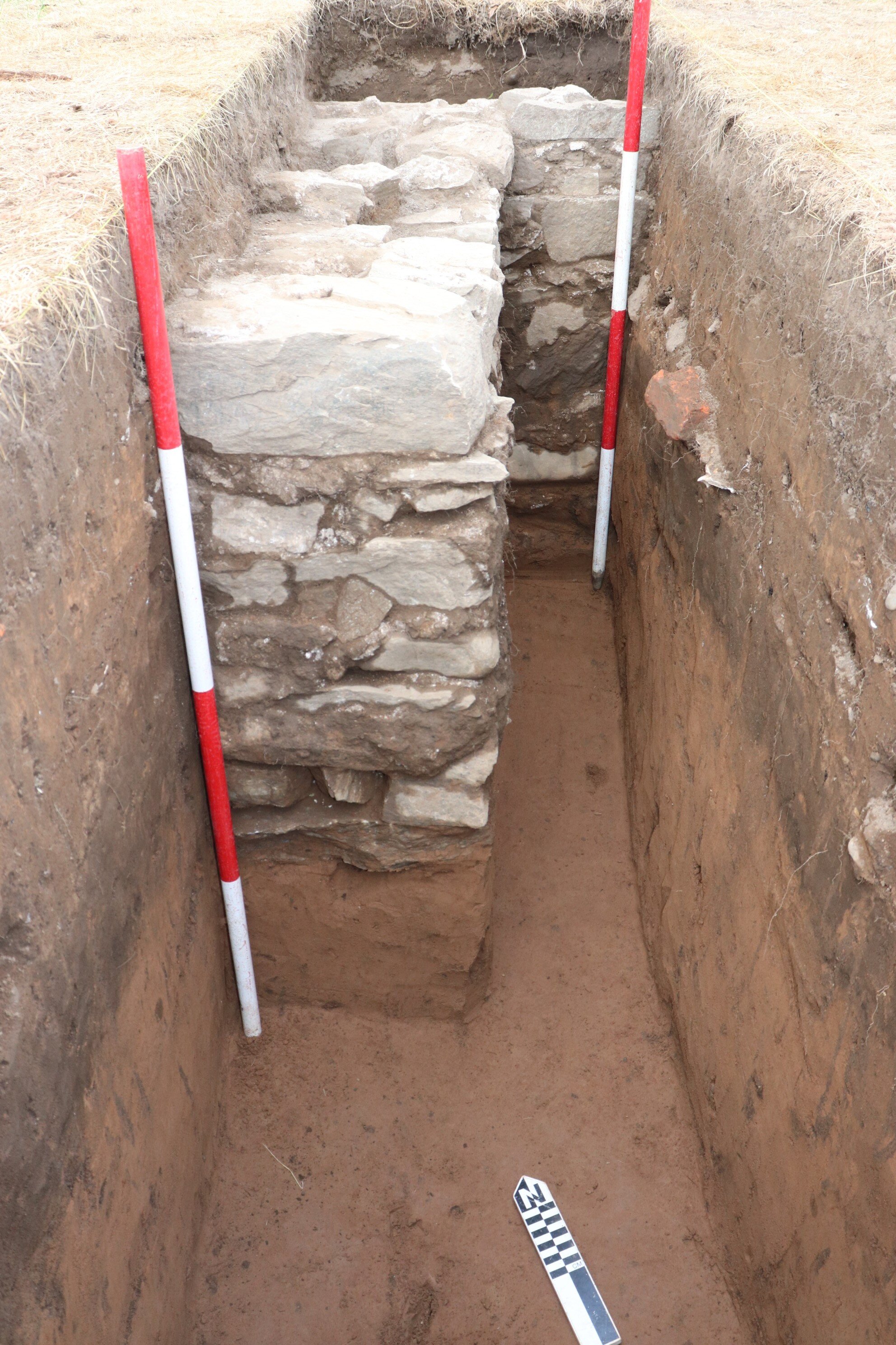
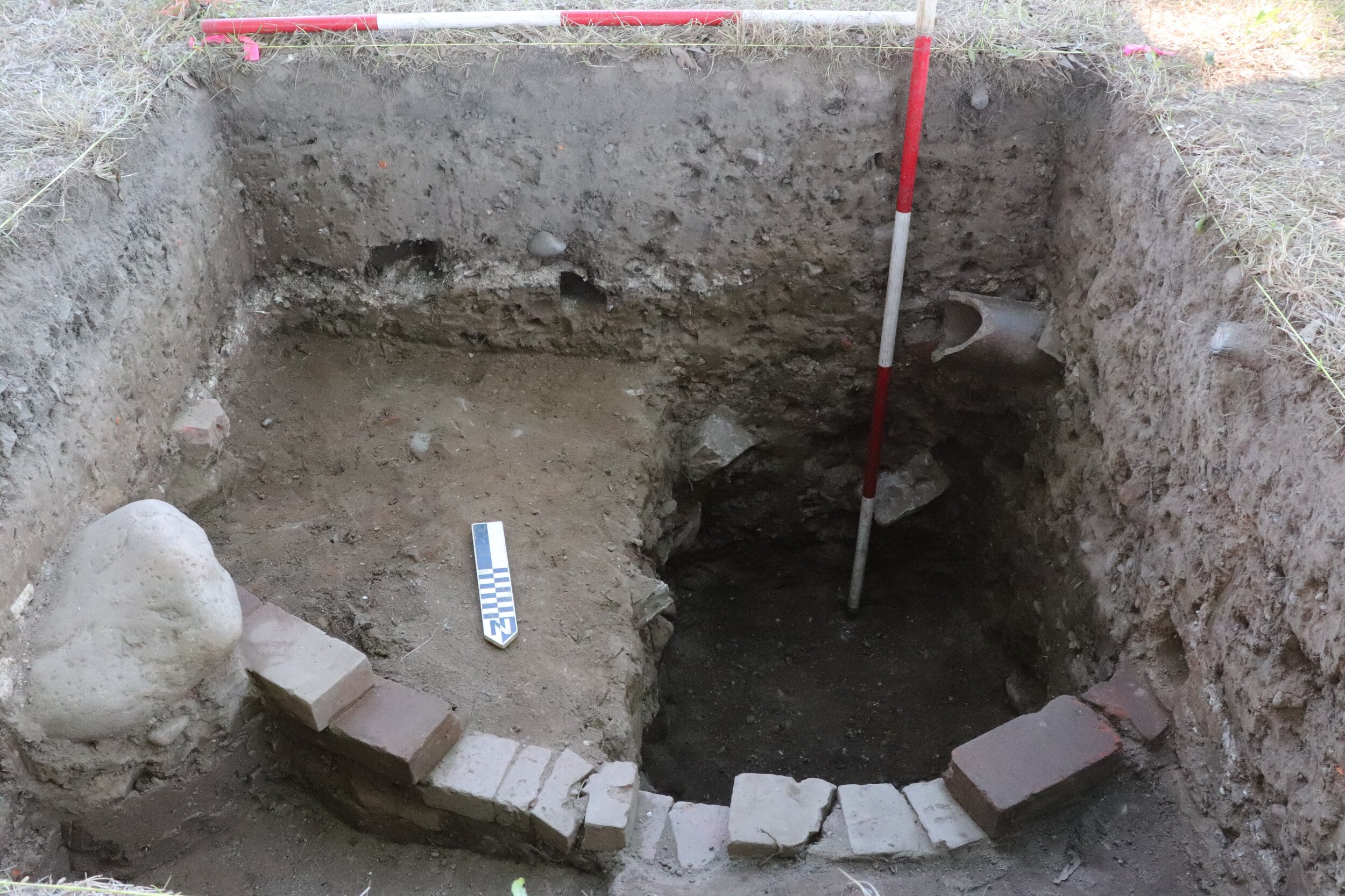
Most of the field effort was expended on expanding the excavations on the site of the 1742 kitchen wing and testing various ground-penetrating radar anomalies. The footprint of the kitchen wing with its indoor well is now well delineated and several other features of the site, including a 19th-century cess pit and colonial-era well, have been pinpointed. As in the 2019 field school, Native American and Contact period strata were sampled and an abundance of prehistoric and early historic cultural material has been recovered.

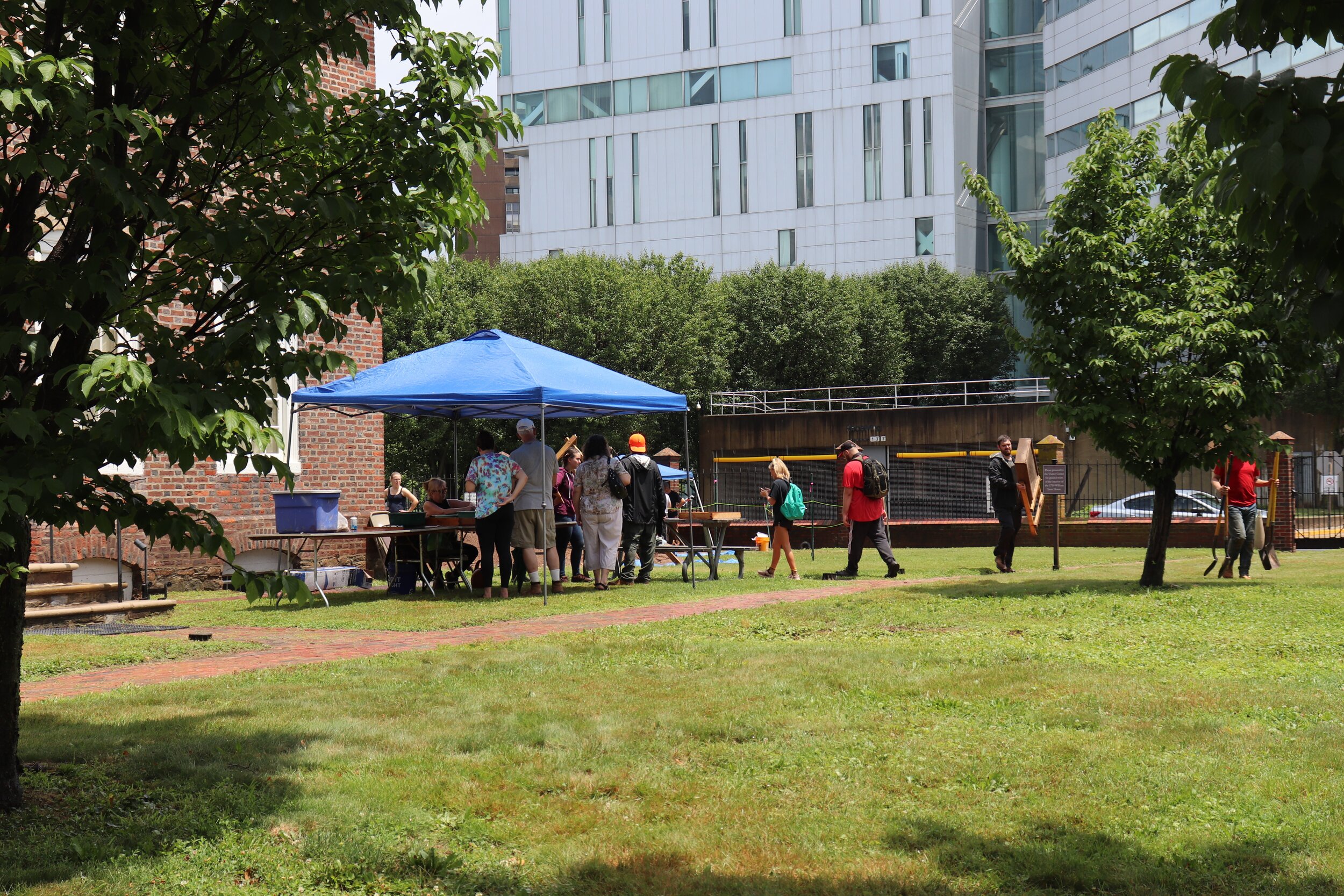
On the final weekend of the field school the general public were invited to an open day when the excavations were showcased for visitors. Also on hand were expert craftspeople giving primitive technology and pottery making demonstrations, while the house was open for tours. A presentation on the work conducted to date is anticipated at the fall meeting of the Council for Northeast Historical Archaeology in St. Mary’s City, while analysis and report production are ongoing.

Concurrent with the field school, Hunter Research has been teaming with preservation architects and landscape architects Clarke Caton Hintz in completing The William Trent House Preservation Plan:  Historic Buildings and Grounds (July 2021), another New Jersey Historic Trust-supported endeavor, which provides a valuable synthesis and blueprint for managing the landscape, archaeology and interpretative treatment of the Trent House site in the years to come.

Granite State Crossings

Hunter Research recently completed a multi-year project working closely with the New Hampshire Department of Transportation (NHDOT) to update the state’s historic bridge inventory and create a new statewide historic bridge management plan. During the 1980s, New Hampshire was among the first states in the nation to complete a historic bridge inventory per requirements of federal law. By the early 2010s, however, the original inventory had become obsolete and had not been comprehensively updated in more than three decades.

Hunter Research worked closely with specialists from NHDOT’s Bureau of Environment and the Bureau of Bridge Design to digitize existing historical data and have Hunter Research’s architectural historians review and make updated eligibility assessments for all NHDOT-inspected state-owned, town-owned and rail-over-highway bridges over 10-foot span built prior to 1978 (over 2,600 bridges). Eligibility recommendations were grounded in a new statewide historic bridge context statement and discussion of application of the National Register Criteria for Evaluation (A, B, C and D). The prior inventory had been mostly focused on Criterion C for engineering and architecture. The updated inventory paid particular attention to Criterion A for associations with locally significant patterns of historic transportation development and cultural landscapes.

Hunter Research coordinated with NHDOT’s Department of Information Technology to integrate a historic bridge layer, with all of the findings and supporting documentation for individual bridges, into a GIS application accessible to NHDOT staff. This data will be ultimately exportable to the NH Division of Historical Resource’s (NHDHR’s) cultural resources GIS and available to the public. This data is now being used by NHDOT and NHDHR to streamline Section 106 reviews and facilitate project planning and coordination for bridges identified as eligible for the National Register of Historic Places. Non-historic bridges are being cleared more efficiently.

The statewide historic bridge management plan offers NHDOT-approved menus of alternatives to consider when developing projects to preserve or rehabilitate historic bridges, based on bridge material and type. Options are also provided for minimizing or mitigating adverse effects when they occur, facilitating the development of Memoranda of Agreement (MOAs) when needed. The plan was developed over several years of meeting with senior staff from the Federal Highway Administration (FHWA), NHDOT and NHDHR.  Patrick Harshbarger of Hunter Research served as project manager and the chief technical expert on historic bridge best practices.